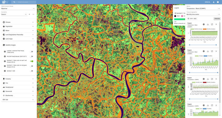
A new tool developed by Google and the Food and Agriculture Organization (FAO) called Earth Map allows anyone access to multidimensional maps and statistics that show key climate and environmental trends. According to the announcement:
Earth Map is an innovative and free-to-use Web-based tool to provide efficient, rapid, inexpensive and analytically cogent insights, drawn from satellites as well as FAO’s considerable wealth of agriculturally relevant data, with a few clicks on a computer. Earth Map has also been designed to empower and provide integrative synergies with the federated FAO’s Hand-in-Hand geospatial platform, a more comprehensive tool to provide Members, their partners and donors with the means to identify and execute highly-targeted rural development initiatives with multiple goals ranging from climate adaptation and mitigation to socio-economic resilience.
“I am convinced that transforming our food systems to feed the world will be achieved with a digital agriculture” said FAO Director-General QU Dongyu. “We need to make digital technologies accessible to everyone.”
Image – FAO